
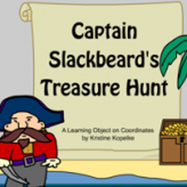
Looking around the internet for resources I found a game called Captain Slackbeards Treasure Hunt. I would use it in a grade 1 and 2 class (VELS level 2). The game is about pirate named Captain Slack who has hidden his treasure and as he has gotten older forgotten where he buried it because he was too slack to make a map. In the game he steals maps from other pirates and needs you to become part of his crew and help him search for the treasure. There are four maps to choose from. Once you have chosen a map different co ordinates pop up that you have to find. This goes on until you find the treasure.
This is a great way to get students learning about maps and co ordinates. Once the students have a solid understanding of co ordinates you can get them to do other activities. They could make their own tressure maps, maps of the school or of their house, the route to school. Once they have drawn their own map they could pass it to another student who would have to look at the map and find certain objects. If the map was of a town for example students could answer questions like ‘at what location is the primary school?’ or ‘what is a C8?’. You could also get them to do orienteering activities around the school.
This activity is great because it can lead up to understanding about geography, such things as distance, timing how long it would take to get somewhere, scale. All these things are important to know in the real world.
Clicking on the image will lead you to the game.
 RSS Feed
